
The building that inspired a conference
Image courtesy Frank Amaral, NRF
Located at 74 Bridge Street in the historic waterfront Point neighborhood of Newport, the Christopher Townsend House (left) served as a ‘case-study in resiliency’ for historic homes.
This property, the newest addition to NRF’s collection of 18th and 19th structures, sits at the lowest point in the neighborhood and has a history of flooding. In recent years, Hurricaine Sandy, storm water runoff, and high tides have all caused significant flooding of the basement and first floor. NRF decided to use this property as a case study project to experiment with the best strategies for mitigation and resiliency.
A team of consulting architects, engineers, landscape architects, city planners, academics, and community members contributed to the project in a two-day design charrette held in Newport in January 2016. The development of the case study has been a collaborative effort between NRF, BCA New England, Union Studio, and Mohamad Farzan, RIBA, AIA.
50-Year Sea Level Rise in Newport’s Historic Point Neighborhood
This visualization is based on elevation data derived from NASA’s Shuttle Radar Topo Mission and is broadly in line with sophisticated sea level rise flooding models developed by the NOAA Office for Coastal Management.
Background Information
According to accepted climate science, sea levels have risen nearly 10 inches in Rhode Island since 1930, and are expected to rise by as much as 3 feet over the next 50 years (RICRMC). In 2010, 39% of the US population lived in coastal counties, which comprises less than 10% of the US land area (excluding Alaska) (NOAA). Many of these places are seeing an increase in tidal flooding, heavy downpours, and named storms, which increases the stress on aging infrastructure and historic properties in coastal communities.
It’s logical that sea level rise will cause flooding to property located directly on the shorelines, and this would be correct; what is not as straightforward is the fact that the increase in sea level causes groundwater levels to rise as well (as illustrated in this animation). This rise increases the possibility of groundwater seepage into underground infrastructure as well as into basements (Bjerlkie 2012).
During a high tide in the Point neighborhood, the storm drains are nearly full in low lying areas, and one can assume that the level of groundwater also increases. If there is a small rain event occurring in tandem with the high tide, there is literally nowhere for the water to go except in the streets and basements.
citation | Bjerklie, David M., John R. Mullaney, Janet R. Stone, Brian J. Skinner, and Matthew A. Ramlow. “Preliminary Investigation of the Effects of Sea-Level Rise on Groundwater Levels in New Haven, Connecticut.” USGS Publications Warehouse. 2012. Accessed October 29, 2015.
Technical Details & Assumptions
The specifics of any particular coastal flooding event is a complex interrelationship between wind, rain and tide and multiple scenarios are possible.
More information can be found at:
Shuttle Radar Topo Mission
NOAA Office for Coastal Management
The Surging Seas section of Climate Central
About the Animator, Markley Boyer
Markley Boyer is a cartographer and artist working on an array of projects loosely grouped around an interest in topography. He illustrated the book Mannahatta: A Natural History of New York City.
The conference that inspired an exhibit
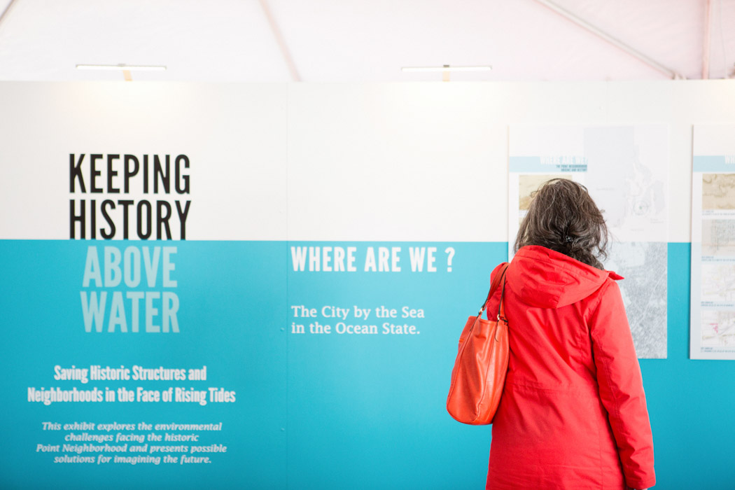
Image Courtesy Caroline Goddard, of HopeStateStyle.com
The results of the design charrette were distilled into an exhibit of resiliency strategies, each of which explored a different level of intervention for mitigating the impact of more frequent and more severe flooding.
The exhibit was open during the four day Keeping History Above Water® conference, and included supplementary public programming, workshops, and interactive components.The exhibit has since traveled to the Peerless Building in Providence and Roger Williams University’s School of Architecture and Historic Preservation.
Exhibit PDFRead more about the 74 Bridge Street Project, “A Model Approach to Sea Level Rise is Funded.”
Support for this project is being provided by a Hurricane Sandy Disaster Relief Grant through the Historic Preservation Fund of the National Park Service awarded by the R.I. Historical Preservation and Heritage Commission. Additional funding has been awarded by the City of Newport under their Impacts of Sea Level Change: PILOTING Toward Solutions grant from the van Beuren Charitable Foundation.