New Orleans Changes How It Handles Rain and Flooding
From The Atlantic, July/August issue, written by Laura Bliss | contribution to this article features quotes and insight from Keeping History Above Water conference presenter and panelist David Waggonner.
“New Orleans filled with water” does not conjure up a promising image, at least not yet.
The fight to stay dry has defined the city’s history. In the early 20th century, pumps and canals drained swamps and marshes, allowing development in low-lying neighborhoods like Gentilly, on the sunken edge of Lake Pontchartrain. Today, when New Orleans experiences a storm, runoff enters more than 68,000 catch basins citywide, courses through hundreds of miles of underground pipes, and is pumped into canals and over levees into Lake Pontchartrain and nearby Lake Borgne. The city owes its existence to these concrete and steel interventions against nature. And yet, by preventing the replenishment of groundwater, they have contributed to land subsidence—some neighborhoods have sunk as much as eight feet.
When the London Avenue Canal levee was breached during Hurricane Katrina, in 2005, Gentilly was among the city’s most devastated neighborhoods, partly because the area had already sagged below sea level. Since Katrina, the U.S. Army Corps of Engineers has spent $14.5 billion strengthening levees and pump stations and building flood walls and floodgates, an essential line of defense. Still, much of the city remains vulnerable to flooding after heavy downfalls.
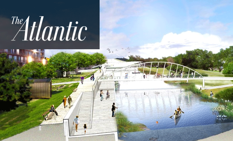
Now, with a $141 million award from the Department of Housing and Urban Development, New Orleans is planning to supplement its “gray” infrastructure with green infrastructure. By reengineering how storm water flows through its lowlands, the city hopes to work with its ecology rather than interfere with it. Gentilly will serve as the testing ground for a network of projects that filter and store water through natural processes. After Hurricane Katrina, “we realized we had such a radically misdesigned landscape,” says David Waggonner, the architect behind the Gentilly Resilience District plan. He explains that the plan “recognizes the city that’s there, but retrofits it.”
With its open lots and wide streets, Gentilly is a good place to restore functional water features to the urban grid. Existing green spaces will be transformed into parks that will do double duty processing storm water. On the 25-acre site of a former convent, a string of wetland terraces will siphon runoff from nearby streets. Native plants are expected to filter out pollutants, and attractive ponds will hold the water. On some of Gentilly’s broad avenues, medians will be converted into special channels and sunken gardens, through which rain will percolate to the water table. Toward the same end, residents have been encouraged to install rain gardens and bioswales—earthen trenches designed to capture runoff—on their properties. Most of these systems are intended to hold surface water for a few days before dispatching it to storm drains.
One day, New Orleans might even un-wall some of its flood canals and use them for recreation, as the Dutch do—the ultimate embrace of a blue environment. “This is about living with water,” Waggonner says.

